- Success Stories
- Environmental Resource Assessment & Management
New Heavily Desired High Resolution Land Cover Data for the U.S.
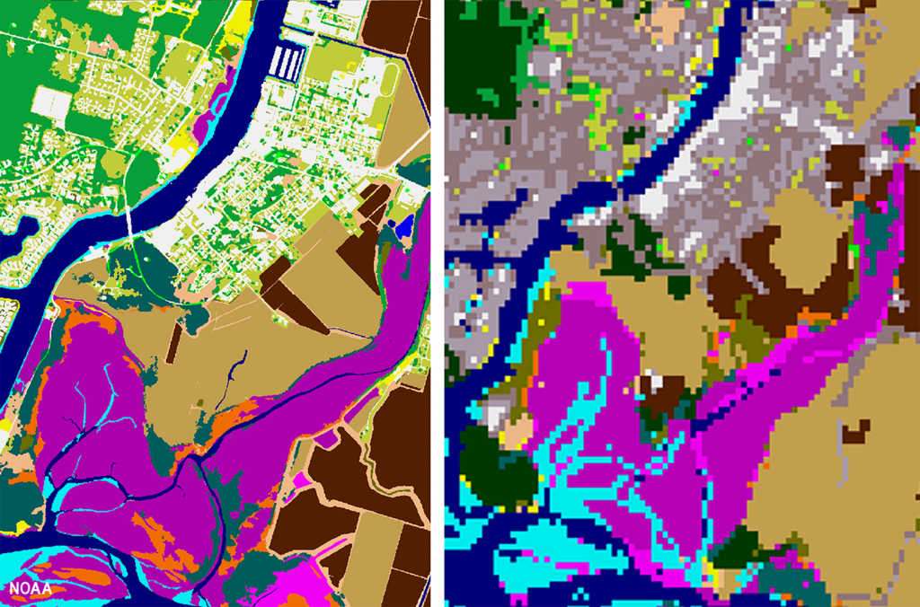
The National Oceanic and Atmospheric Administration recently announced the launch of the long desired high-resolution coastal land cover data. This highly anticipated data are available for most coastal areas of the U.S., including Alaska and the U.S. territories.
CSS employee owners contributed to the release of this data set by participating in production activities and providing quality assurance/quality control checks. In addition, the team has been presenting workflow processes and outputs, on-the-ground applications, and associated benefits of the data at conferences and to partners.
As part of this effort, CSS staff developed ESRI ArcGIS image services and a story map to facilitate distribution and understanding of the data. Following the NOAA press release, the land cover project team manager received an influx of questions expressing confusion regarding the data. CSS staff were tasked with rapidly developing this story map to better explain the points of confusion and direct users to the data download site. Staff completed this task within three business days of being assigned.
Previously, coastal land cover data was widely available at a 30-meter resolution. This new data is a 1-meter resolution product, which communities can use to improve sea level rise projections, protect communities from flooding, inform wetland restoration projects, and more. This is an especially important data set for Alaska, which has previously not had widespread land cover data available. Due to the costly nature of this high-resolution data, it was previously unobtainable for communities that couldn’t provide funding. Thanks to funding from the Bipartisan Infrastructure Law, NOAA was able to provide this data at a much larger scale.
Download the new high-resolution coastal land cover data through NOAA’s Digital Coast website,

See More CSS Insights
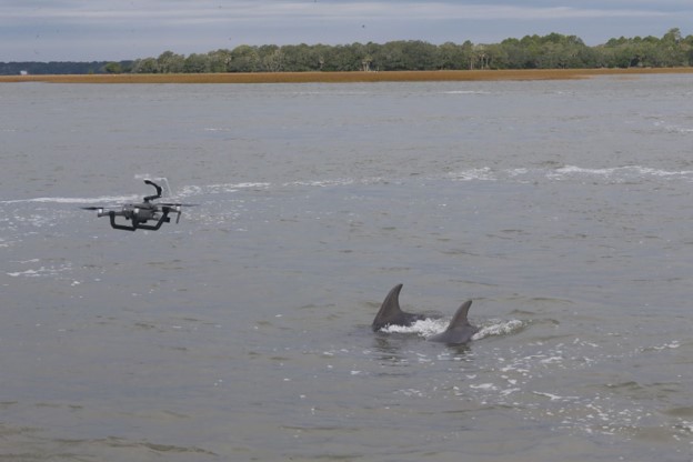
Examining Cetaceans for Contamination and Pathogens
CSS has employee owners who are experts in monitoring cetacean health. Several CSS scientists supporting NOAA’s Centers for Coastal Ocean Science have recently conducted research and tests on marine mammals to explore uncommon behaviors and causes for strandings. View some examples of this research below. Microplastics are becoming increasingly abundant in coastal and marine environments.…
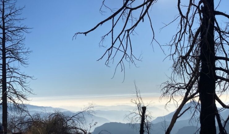
Monitoring Air Quality in California’s San Joaquin Valley
CSS employee owners supported the deployment and operation of the U.S. Environmental Protection Agency (EPA) air quality monitoring trailer (WEAVE COM – Western Enhanced Air quality VEhicle for COmmunity Monitoring) in California’s San Joaquin Valley in during late fall and early winter of 2024. Elevated particulate matter (PM2.5) is frequently found throughout the valley during…

New Contract. Same Great Work.
We’re pleased to announce a new small business joint venture with Paul Bechtel & Associates (PB&A), which was awarded a 5-year contract to continue supporting the U.S. Environmental Protection Agency’s (EPA) Office of Pesticide Programs. For 40 years our staff have supported EPA’s Office of Pesticide Programs in the review and evaluation of pesticide data.…