- Success Stories
- Environmental Resource Assessment & Management
Organizing Teams to Monitor Coastal Contaminants
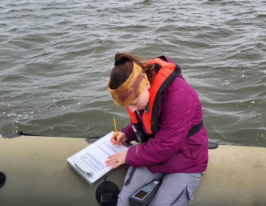
For nearly 40 years NOAA’s National Mussel Watch Program has been monitoring contaminants in coastal waters in over 400 sites around the U.S. by testing sediment and bivalves, such as oysters and mussels. A CSS employee owner organizes and coordinates the regional missions to collect and test samples. This includes developing a schedule and coordinating several teams to collect samples in different subregions for each region as well as shipping equipment and supplies needed for each of the team to carry out their tasks.
CSS employee owners work alongside federal program staff and local partners to collect samples throughout the regions. In fiscal year 2024 CSS staff deployed to the Gulf of Mexico and Pacific Ocean, which includes Alaska, Hawaii, and the West Coast. The team adds data they collect during these missions to the Coastal Pollution Data Explorer, a cloud-based ArcGIS platform that allows users to search by location or type of contaminant, generate a report, and download the data. A CSS employee owner serves as the lead developer for this online platform. Learn more about NOAA’s National Mussel Watch Program.


See More CSS Insights

1000 Samples of Lake Water Collected and Processed
Congrats to our team supporting U.S. Environmental Protection Agency’s Office of Research and Development for completing the processing and initial chemical analyses of 1000 lake water samples! They received lake water samples from across the continental U.S. this past summer and have completed the initial chemical analyses as part of the U.S. EPA 2022 National…
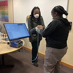
Safety Support To First Responders
First responders put their lives on the line to help others, and our team helps safeguard their protection. Our team on contract with the National Institutes of Health (NIH) Respiratory Protection Program works with staff to test respirators and establish secure fits. Similarly, they provide these fit tests for fire department personnel on a regular…

Providing Data Products for More Effective Consumption
The National Oceanic and Atmospheric Administration’s (NOAA) National Centers for Environmental Information (NCEI) is responsible for providing data, products, and services that help businesses and organizations operate more efficiently and effectively. As such, these data and products need to be available in a publicly accessible and digestible format the audience are able to understand. To…