- Success Stories, Uncategorized
- Satellite Science & Environmental Intelligence
Providing Data Products for More Effective Consumption
The National Oceanic and Atmospheric Administration’s (NOAA) National Centers for Environmental Information (NCEI) is responsible for providing data, products, and services that help businesses and organizations operate more efficiently and effectively. As such, these data and products need to be available in a publicly accessible and digestible format the audience are able to understand.
To aid in this effort, CSS employee owners (formerly Riverside employees) support the NCEI Industry Proving Ground User Engagement task by perform a variety of science and development activities that include
- assembling and maintaining vertically integrated, quality assured instrumental datasets that service the needs of targeted stakeholder communities and commercial sectors
- creating homogenized instrumental datasets that contain adjustments to account for the impact of non-climatic factors (e.g., changes in station location or satellite sensor) in the historical record
- developing gridded products that provide a high-resolution, temporally consistent analysis of environmental parameters (e.g., temperature, drought) from an integration of multiple data types (e.g., in situ, radar, reanalysis, satellite, socioeconomic)
- generating point-based and gridded products that depict averages (e.g., normals, typical meteorological year) and extremes (e.g., the intensity, duration, and frequency of rare events such as heat, floods, and hail) at multiple scales
- incorporating atmospheric, coastal, oceanic, geophysical, reanalysis, and socioeconomic data streams into NCEI’s suite of climate monitoring services, including the monthly reports and related web applications
- expanding the mapping content and analysis capabilities of NCEI’s climate monitoring web applications (e.g., the U.S. Climate Atlas, Drought Termination and Amelioration Tool, the National Temperature and Precipitation Maps tool) to better meet the needs of users
In addition, CSS employee owners supporting this task work directly with partners in retail, reinsurance, and architecture and engineering to make NOAA’s climate and environmental data more usable and impactful. The CSS team focuses on engaging with users to understand their needs, co-developing tools and products that help them make smarter decisions and modernize systems to better support climate resilience. The end goal is to ensure the data NCEI delivers is useful, actionable, and truly supports the people and industries they serve.

See More CSS Insights

Assessing Contamination in Abandoned Mines
CSS supports the Environmental Protection Agency with assessing contamination within abandoned mines. There are thousands of abandoned mines throughout the western United States. Many of these mines are leaching heavy metals into nearby streams or have contaminated soils causing vegetation die off. CSS employee owners conduct field work to assess the extent of this contamination.…

Studying Mesophotic Coral Health
Mesophotic coral can live at depths of 500 feet below the ocean surface. Even at this depth, some of the mesophotic corals in the Gulf of Mexico were affected by the Deepwater Horizon oil spill in 2010. Our coral scientists supporting NOAA’s National Centers for Coastal Ocean Science are studying the extent of this impact.…
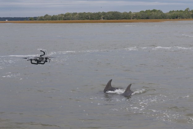
Examining Cetaceans for Contamination and Pathogens
CSS has employee owners who are experts in monitoring cetacean health. Several CSS scientists supporting NOAA’s Centers for Coastal Ocean Science have recently conducted research and tests on marine mammals to explore uncommon behaviors and causes for strandings. View some examples of this research below. Microplastics are becoming increasingly abundant in coastal and marine environments.…